Practitioner Workshop in Graz
2nd of December in Graz, Austria
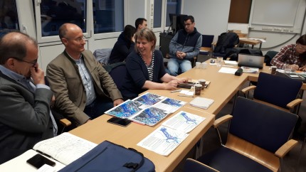
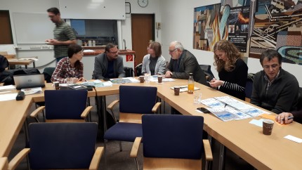
In the course of an interactive workshop, the pros and cons of different map designs and a wish list for the optimal map were worked out using examples. It was our aim in RAINMAN to develop "good" maps, which are tailored according to your needs and demands and help you best.
Maps are a central tool for preventing heavy rain risks and dealing with them in the case of an event. These maps answer questions such as: Where will the water flow (and pool) based on an event of certain intensity? How fast will the water flow? How deep will the water be? When or in what time will a certain water level be reached? The answers to these questions could be given with the help of various cartographic design options, e.g. as a classical printed map or as an interactive online map. Together with stakeholders, we from Graz and Austria developed the optimal map that could best support your work.


