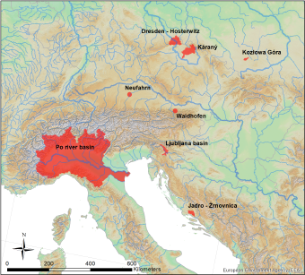
Jadro Catchment, Croatia
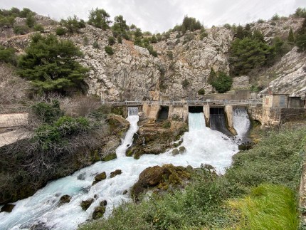
The typical Dinaric karstic catchment of Jadro and Žrnovnica springs (250-500 km2) is located in the middle part of southern Croatia, in a mountain-hilly area that stretches to the coast and is characterized by dynamic and complex hydrogeology and geomorphology. Jadro (4.5 km in length) and Žrnovnica (4.8 km in length) are karstic rivers which receive water through karstified underground and surface water inflow from the surrounding catchment area. Due to the highly karstified area, and generally thin or completely absent surface protective layers, the groundwater-surface water interchange is fairly quick. The water supply system of Split city and its wider surroundings depends on the water intake at Jadro spring. In contrast, due to the lower discharge of Žrnovnica spring during summer months, the water is used only for the water supply of the nearby Žrnovnica settlement and for
irrigation of surrounding agricultural land. In the course of boDEREC-CE project, experts from the Department of Hydrogeology and Engineering geology of the Croatian Geological Survey, will conduct hydrogeological field research on spring, groundwater (borehole) and surface water for analyses of emerging contaminants (EC), stable isotopes and major ions, including in situ field measurements of physiochemical parameters. The aim of pilot activities is to identify the main EC from the group of PPCP, their behaviour and fate in different hydrological conditions, but also to gain better insight into the complex hydrogeological properties of this karstic catchment, consequently helping to improve the protection of drinking water resources and thus human health. Monitoring data gathered through project activities will be an input for testing of model which will help to develop an implementation strategy of a model-based decisiom-making tool for EC called “modePROCON”.
Cluster 3: Karst water
Pilot Action responsible: HGI, LP


